2-Sept-24 Bellot Strait
10 years ago today HMS Erebus was discovered off the coast of King William Island.
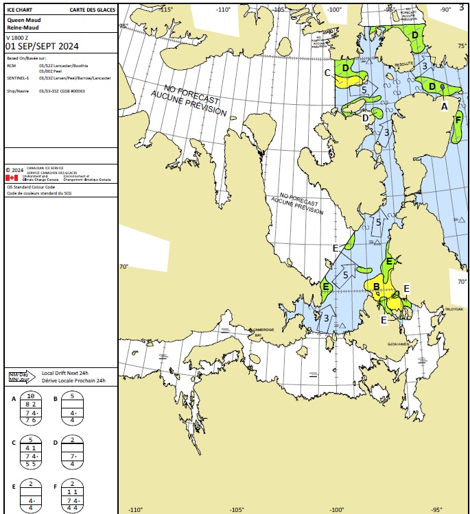
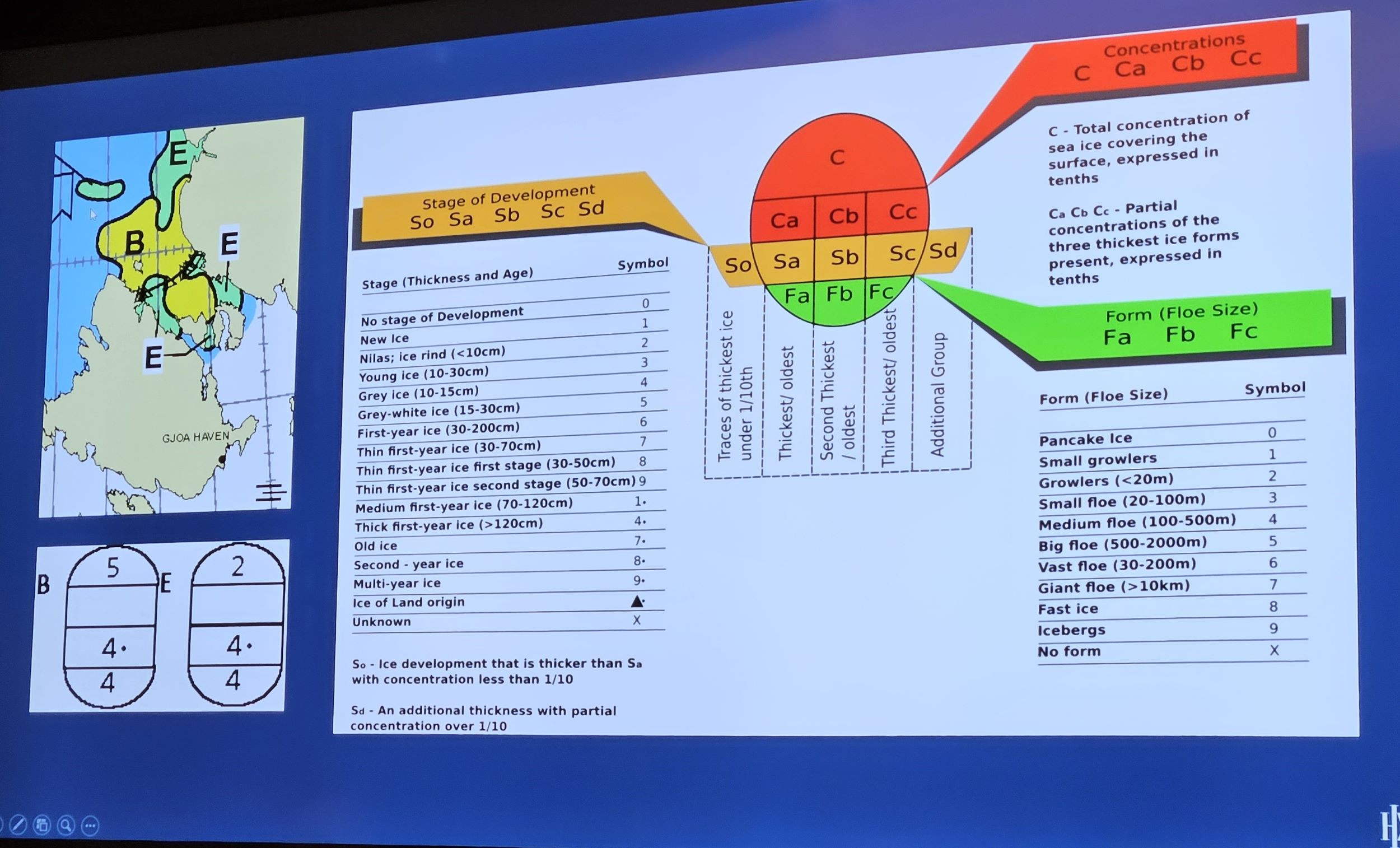
At last night’s briefing told to expect sea ice during the night. So might hear a crunch. But don’t worry. Not sinking. Ship is designed for eight tenths sea ice. Forecast is for five tenths. And shown a sea ice forecast map of the James Ross Strait. It includes oval legends. Have been wondering what these mean for months as have been religiously studying sea ice maps since January. The oval symbols bottom left (in picture below) are called eggs. Top number is sea ice concentration measured in tenths. Number 10 is fast ice. Solid ice fixed to land. Number 1 is 1/10th and minimal sporadic ice.
Second number down, if there is one, splits this down into specific concentrations of the three thickest ice forms present.
Third number down is the stage of development. Ranging from new ice to multi-year ice.
Bottom number is the form of the ice. Is it small growlers (number 1 – piddly little bits of tiny icebergs) or something that would sink the Titanic (number 9).
As you will see on the photo below. We’ll be sailing through the part of the sea identified in yellow. Designated symbol B. This shows the ice coverage will be 5/10ths. Thick first year ice (4dot). And medium floes 100-500m in size.
The stuff you learn on this blog.
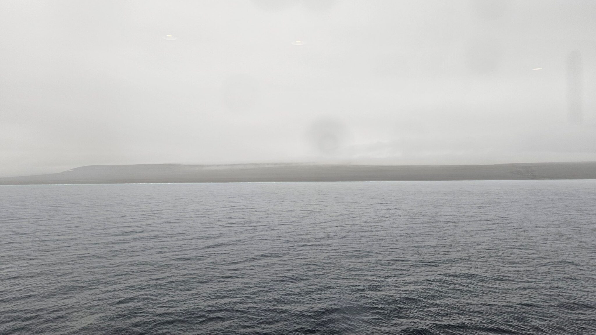
Told we should see sea ice in the morning.
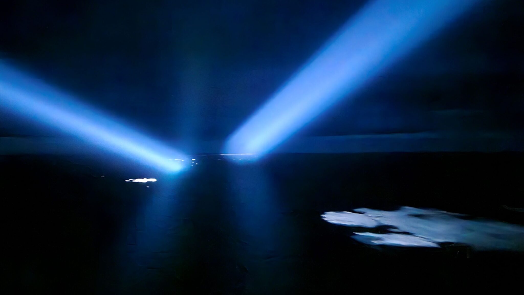
Before bed. Peer out of window. OMG. Significant ice floes floating past. And ships searchlights scanning sea to see ice.
Hmmmm.
Am in my jim jams. It being nearly midnight.
Sod it. I’ll not be back here again. Better have a look. Pop on polar gear. Still in jim jams. Only for a quick look.
Nip up to deck 7 on the bow observation deck. A few others standing. In the pitch black. Looking. Quite eery.
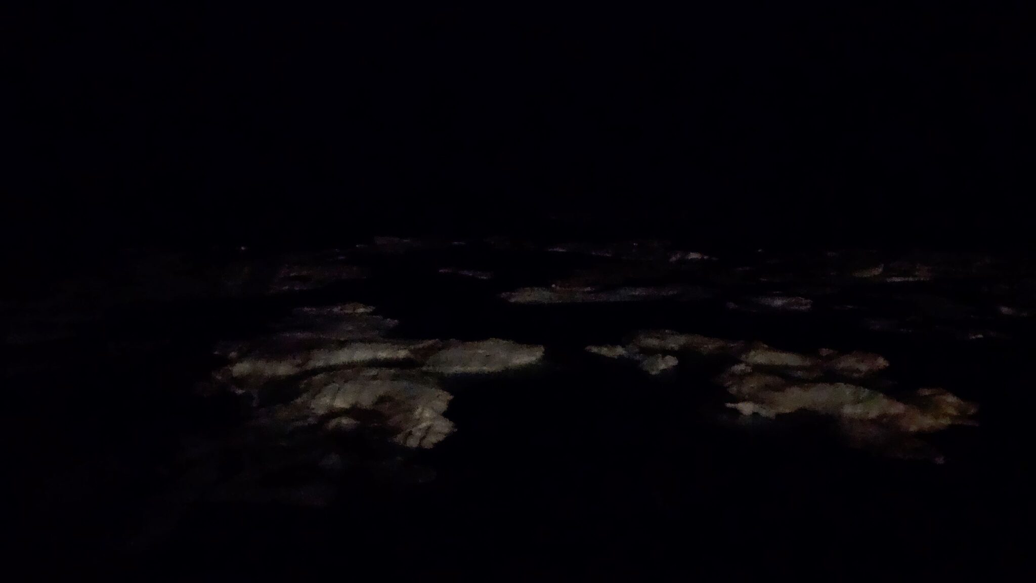
Ship’s searchlight scanning ahead for something that will do damage to the ship.
Discover the night setting on my phone’s camera.
And take what is my favourite photo of the trip. See below. Searchlights reflecting off the water with sea ice floating past.
A memorable moment.
Standing at the bow in the icy cold and dark ice strewn waters gives an appreciation of the North Atlantic Arctic Convoys during World War 2. And how it might have felt. Quite a feeling.
I know I am very lucky in life to be able to experience these things.
During the night there’s a regular crunch and scrape as sea ice hits the hull then floats down the side. Sometimes feel the ship being gently nudged.
Miss Nottingham. Who is tracking my every move. Reports that ship was only doing 5kts during the night as it negotiated the sea ice.
Polar bear territory now. As much further north. Inuit hunter onboard gave a talk last night on hunting beluga whales in the area we now are. He and wife travel in an open aluminium looking boat with outboard motor for 8-12 hours to reach Coningham Bay. Complete with three 45 gallon barrels of fuel. Hunt beluga whales for 8-12 hours. Then return home. A further 8-12 hours. About 30hrs in total. With no sleep.
Kills 6-8 beluga whales in the area a year. They have to skin the beluga whale in about 10 minutes before the polar bears arrive. The skin and blubber is called ‘maktaaq’ or ‘muktuk’. And used to feed the family and excess given to the community. Whale meat is also taken along with the intestines. Which can be used as sausage skin. So don’t moan about the lack of avocadoes at Waitrose. This is proper living.
During the night sea currents and wind had propelled a lot of the sea ice out of the area so are now sailing into the Franklin Strait in open water.
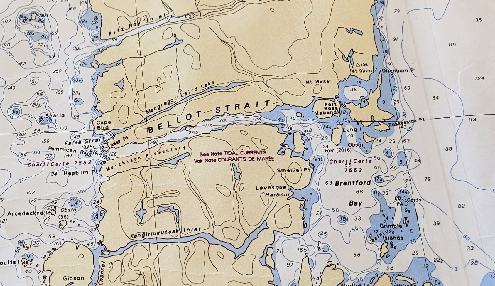
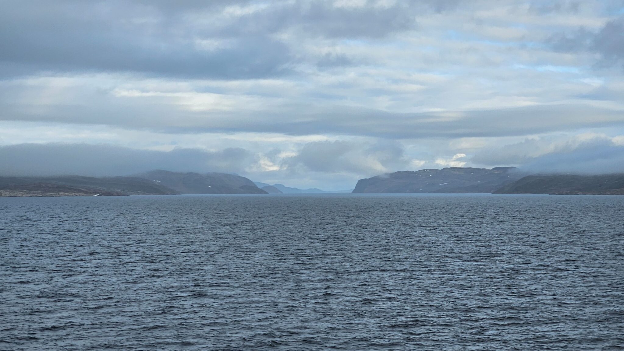
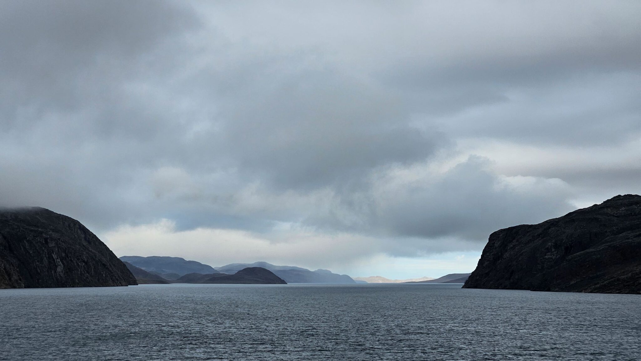
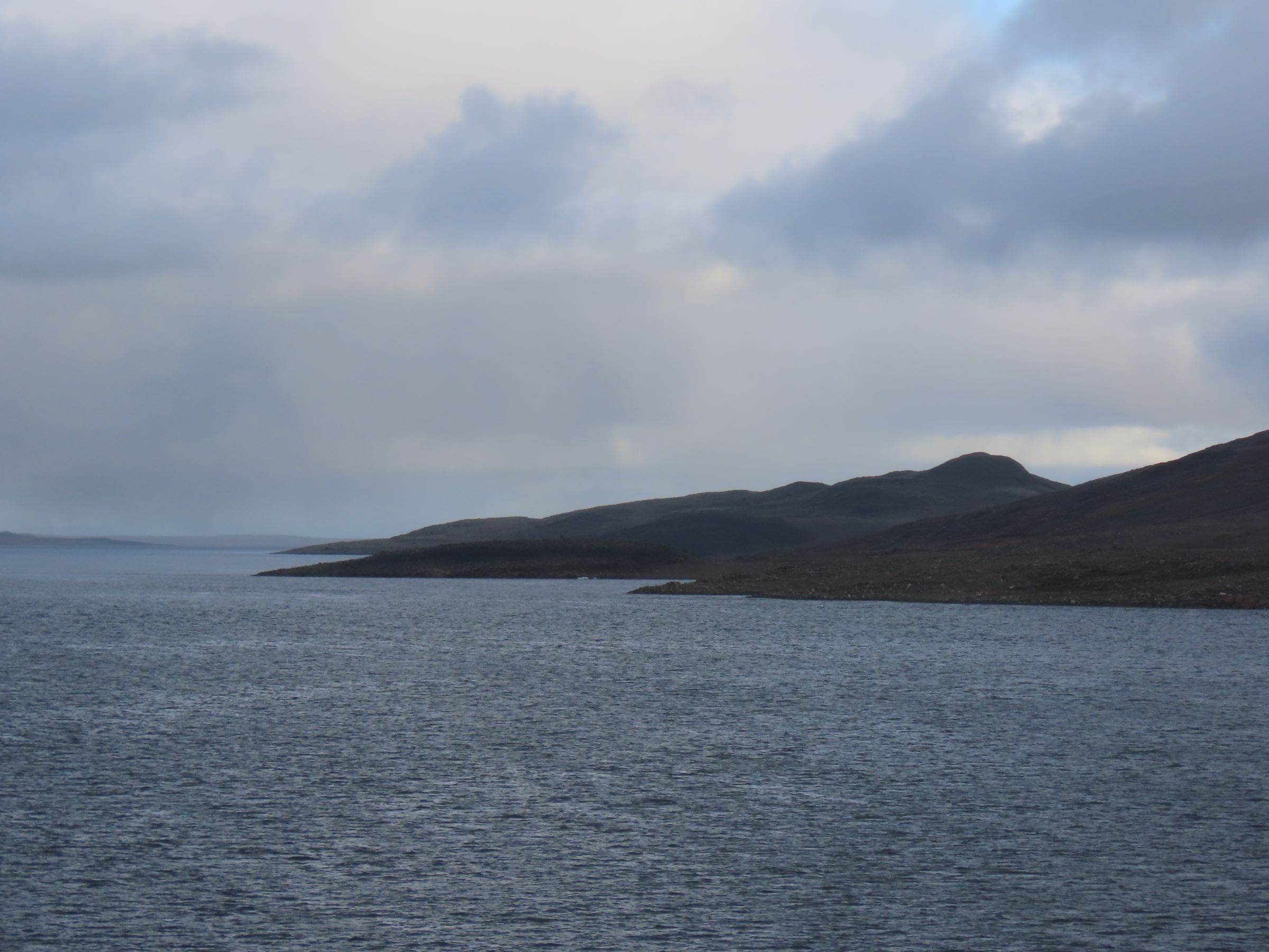
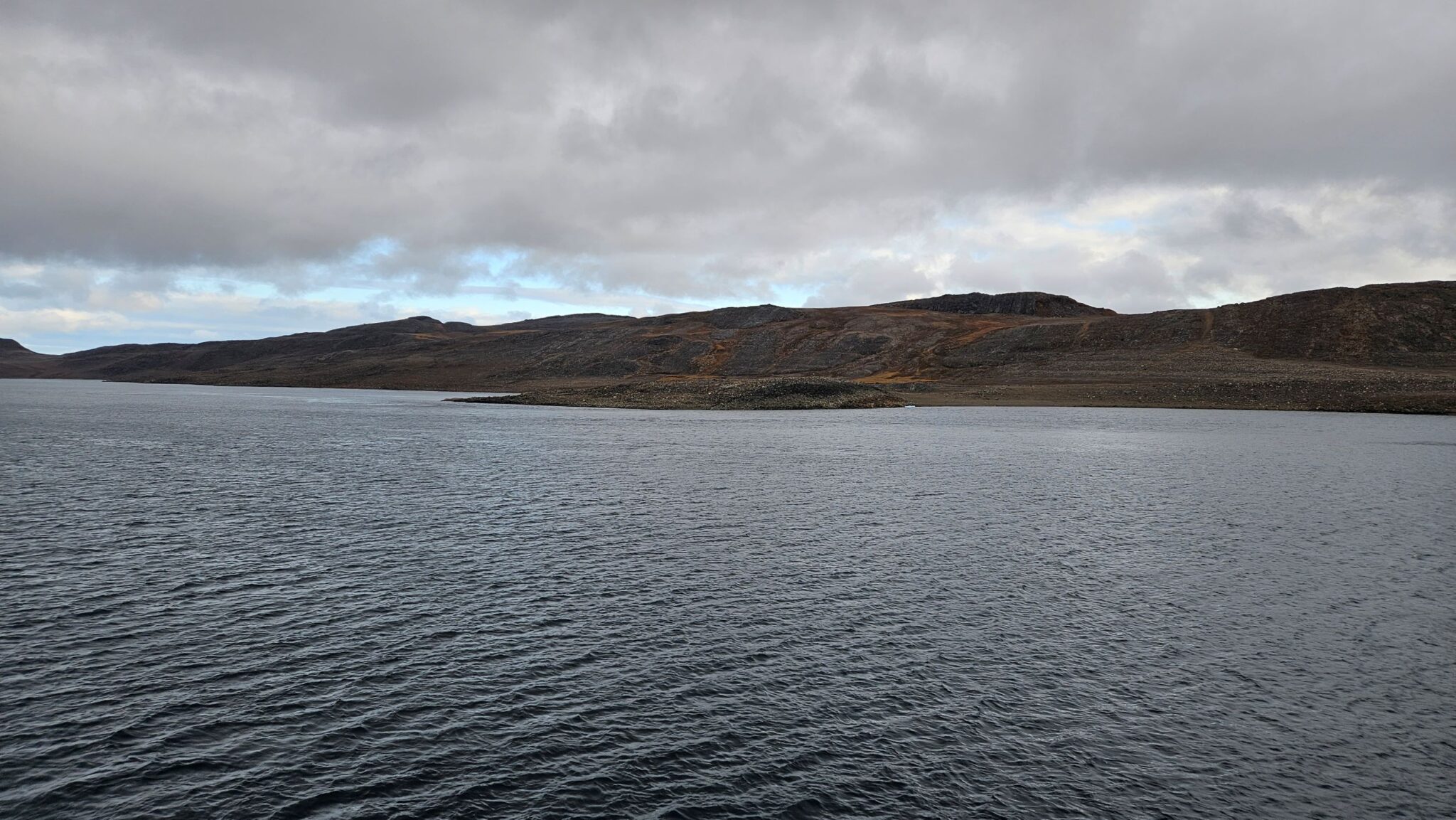
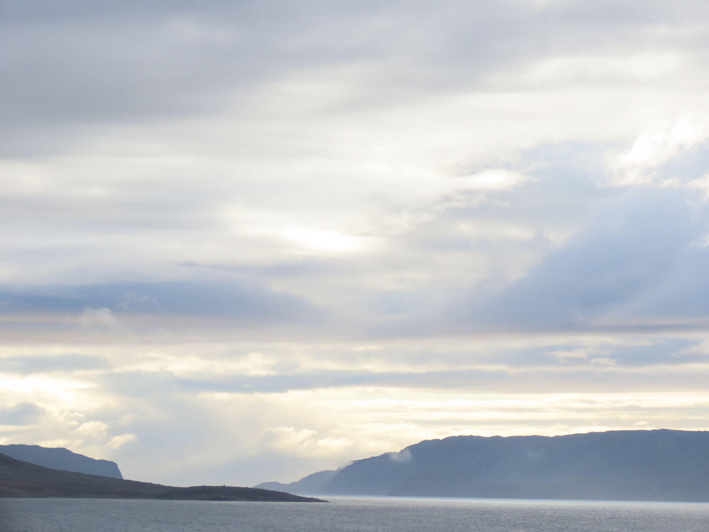
As we head towards Bellot Strait. The 16 mile long few hundred metres wide channel separating the Americas land mass from the Canadian Arctic islands. It’s at the end of the Boothia Peninsula.
And do you know why it’s called the Boothia Peninsula, dear reader. Well. John Ross’ expedition to the area in 1829-ish was sponsored by Felix Booth. Of Booth gin fame. So it was named Boothia after the gin. Nearby is where John Ross’ nephew, James Clark Ross, discovered the magnetic north pole in 1831. The stuff you learn on this blog.
Zenith Point is the northern most point of the peninsula. And. Of the Americas. Technically, you could walk from Zenith Point all the way to Ushuaia.
Takes about an hour and a half in slackwater. As we are. Currents are quite strong which can delay transit.
And then.
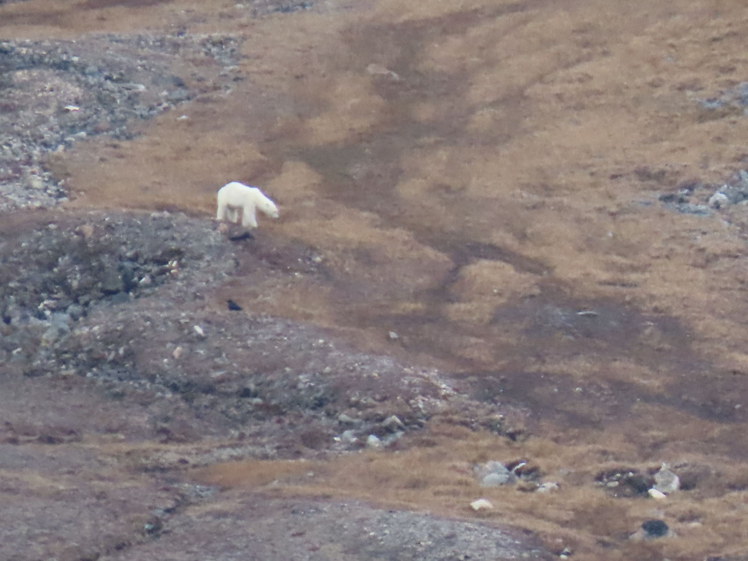
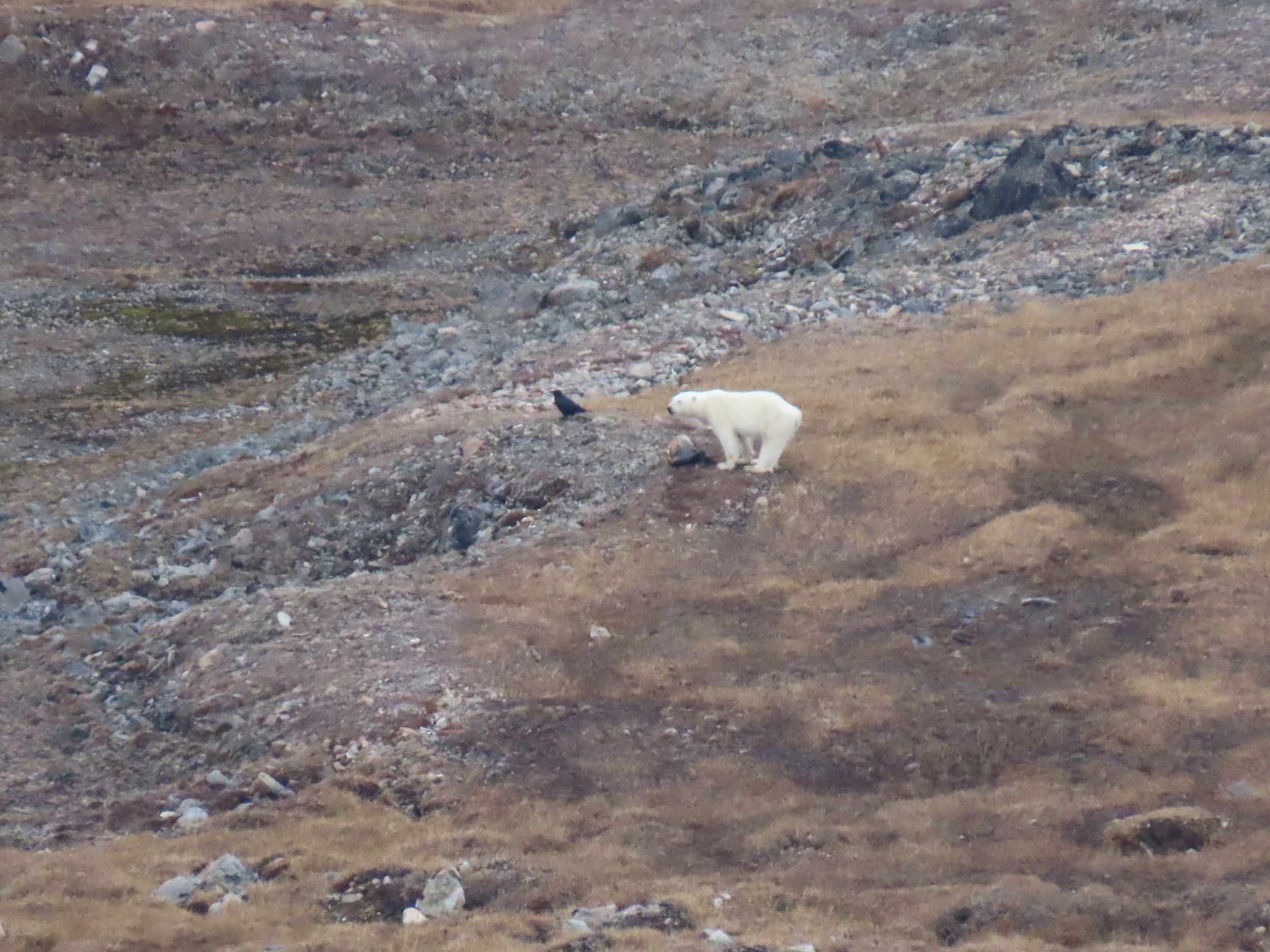
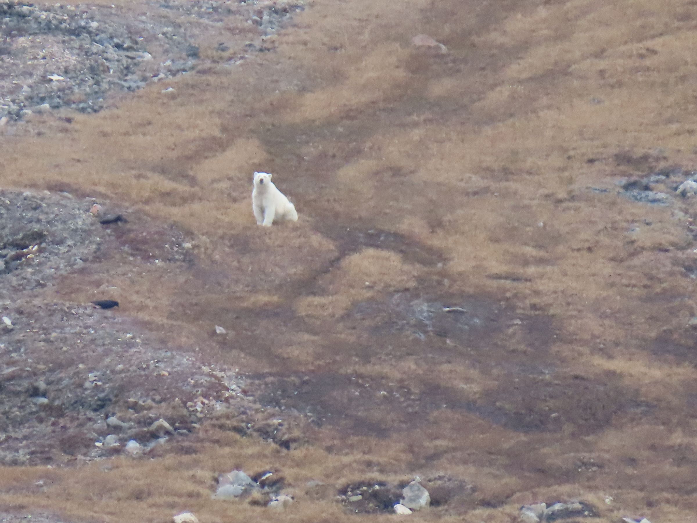
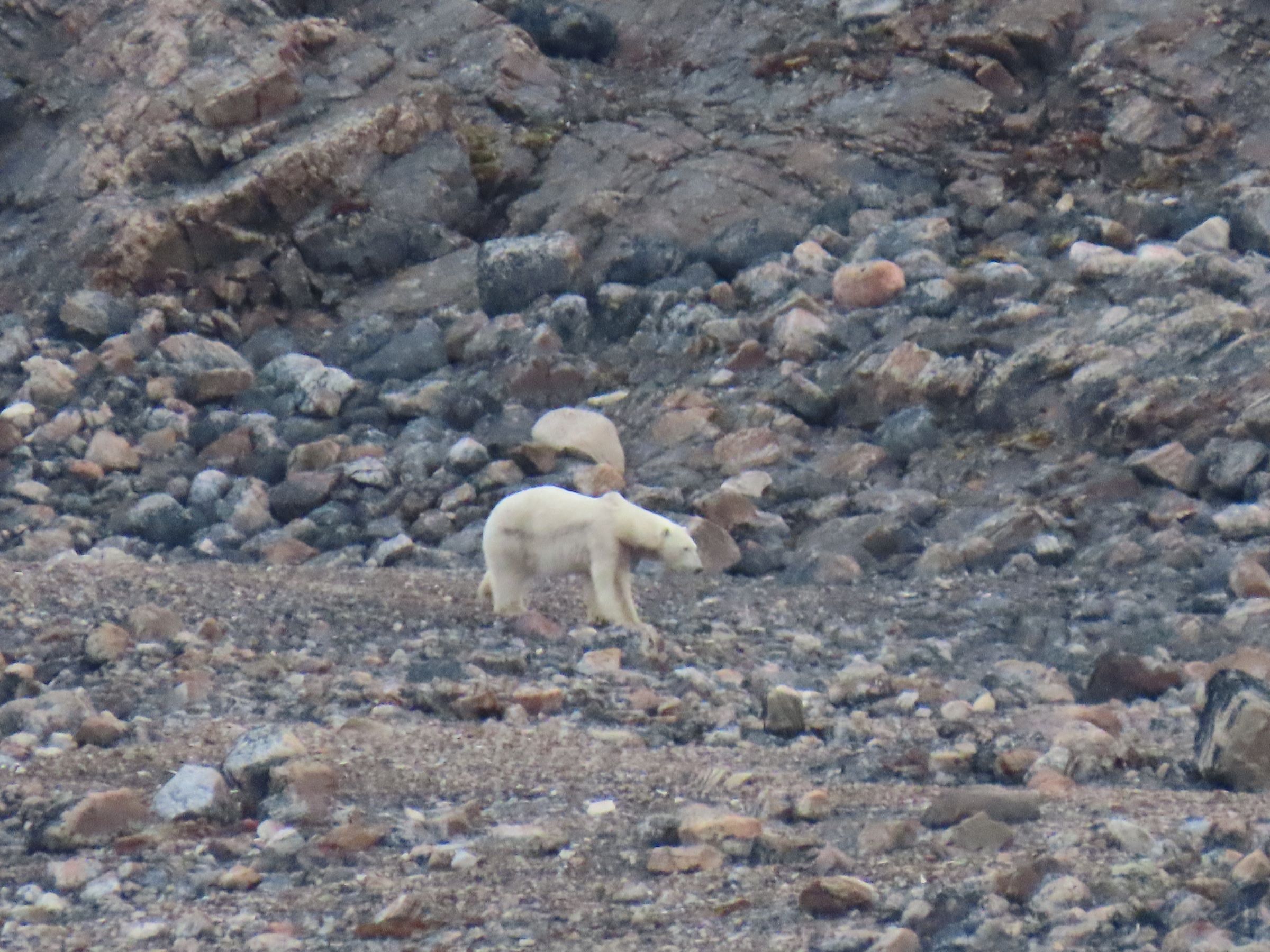
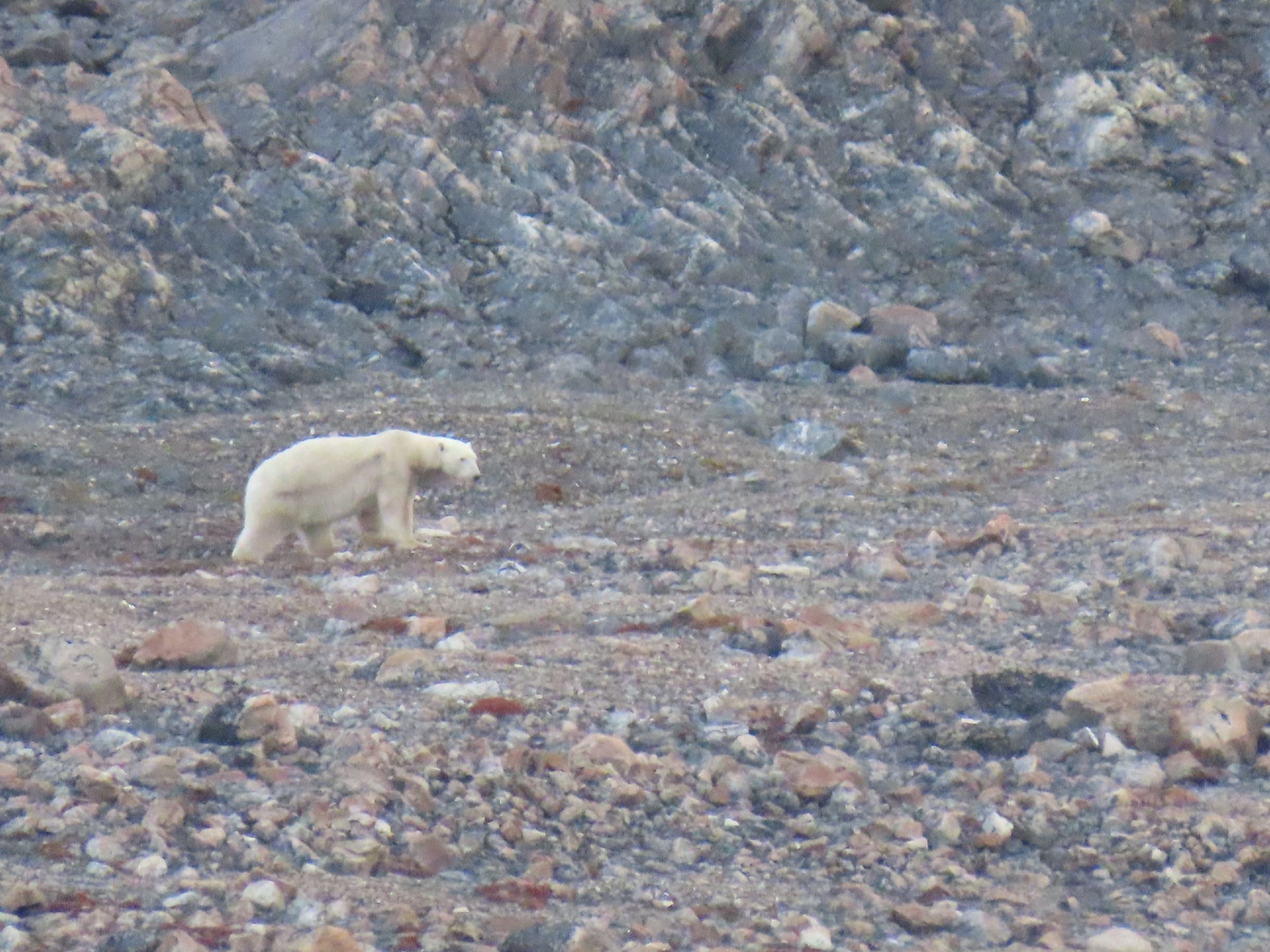
To our left is a polar bear.
To our right is a polar bear.
Finally.
Like a bus. You wait ages to see a polar bear. And then they all arrive at the same time.
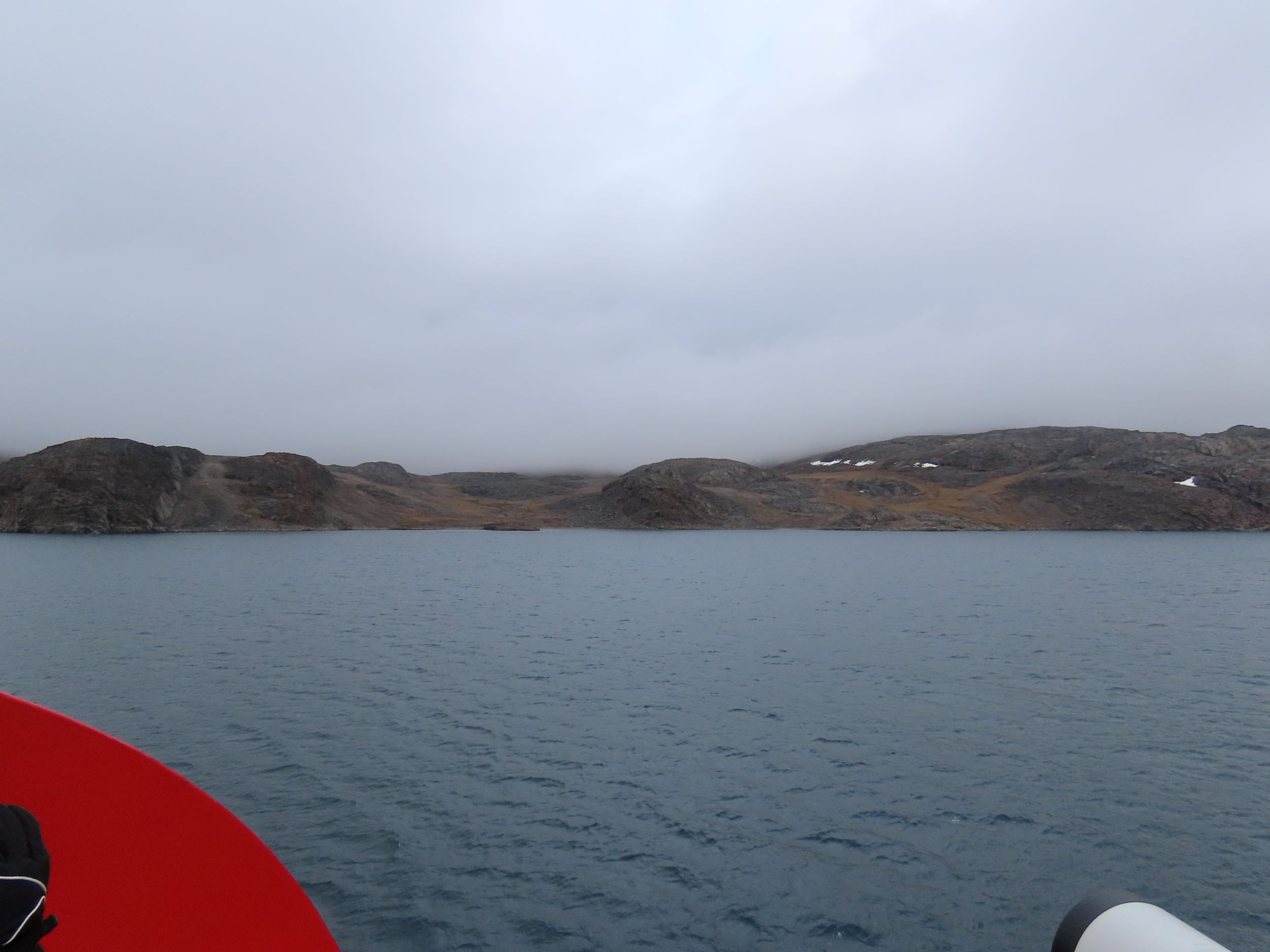
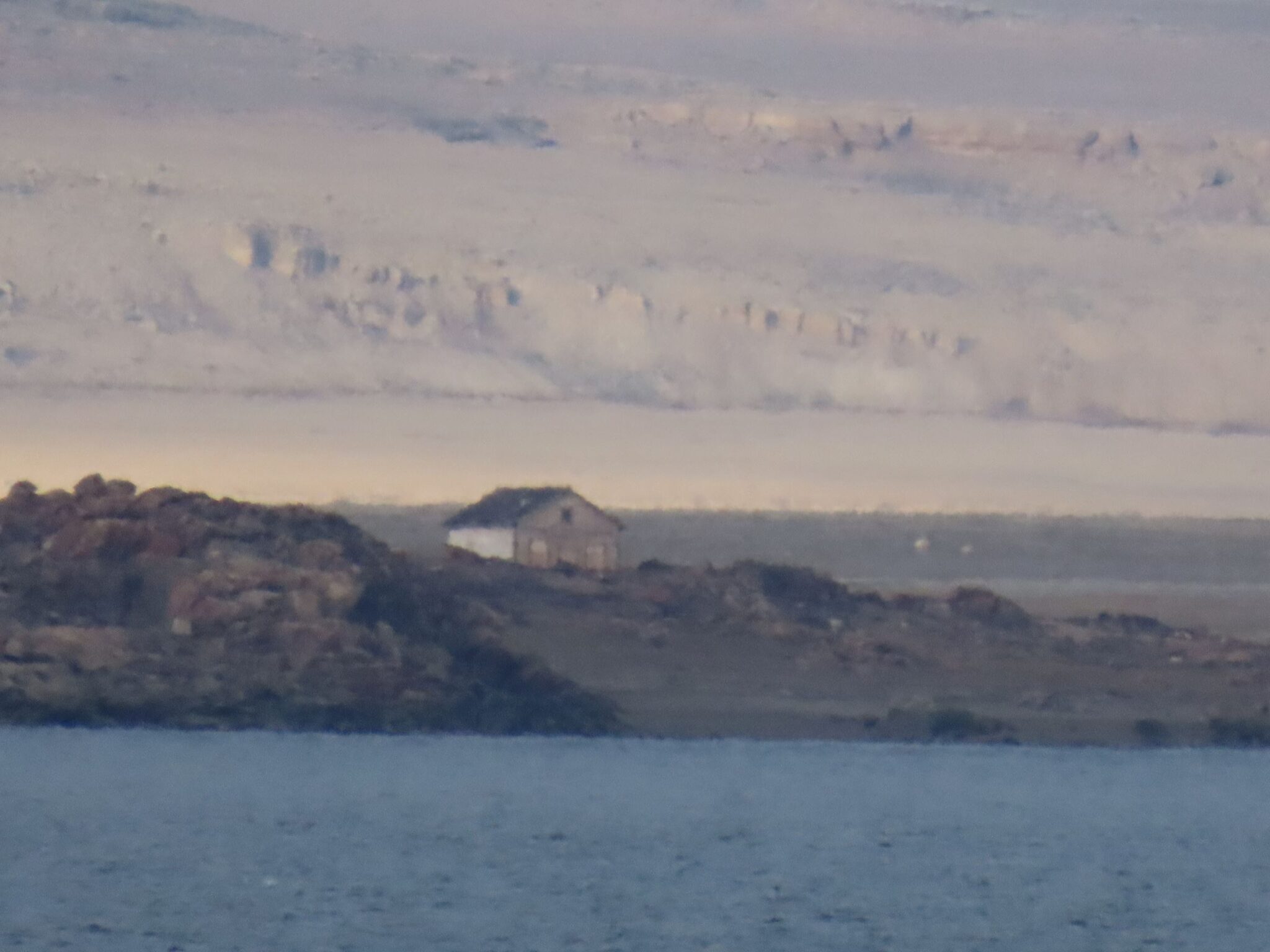
At the end of Bellot Strait is Fort Ross. Invisible to the naked eye from our location. Thankfully have a 1400mm equivalent zoom on my camera and can see it about 2km away.
An abandoned trading post set up in 1937 it was the last to be set up by the Hudson Bay Trading Company. Do a Google search and you will see it still has the remnants of a bygone past slowly rusting away.




Amazing experiences!