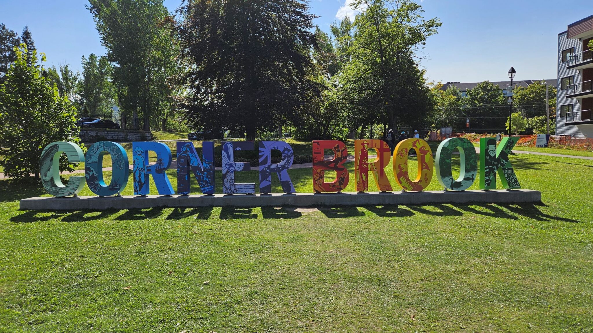
12-Sept-24 Corner Brook, Newfoundland
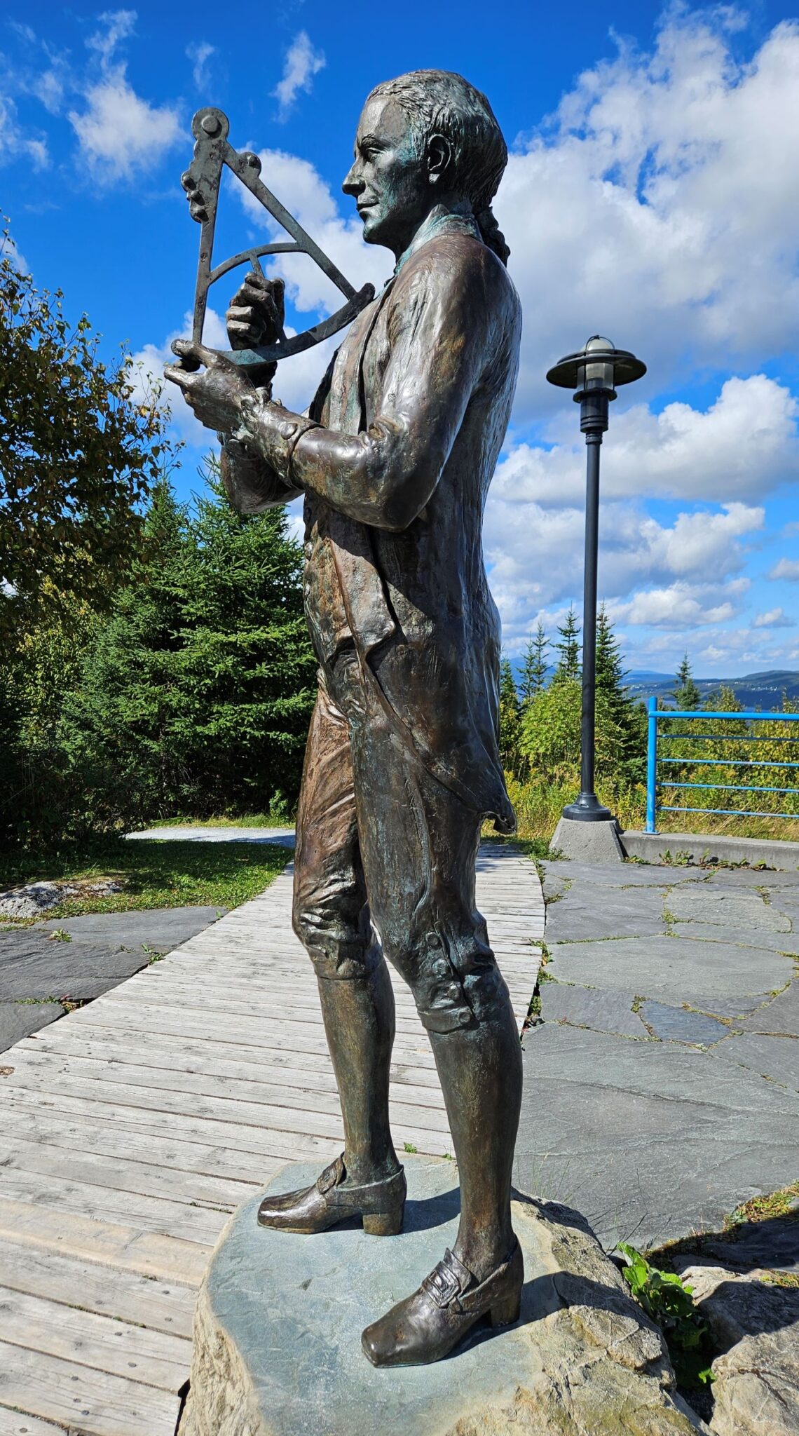
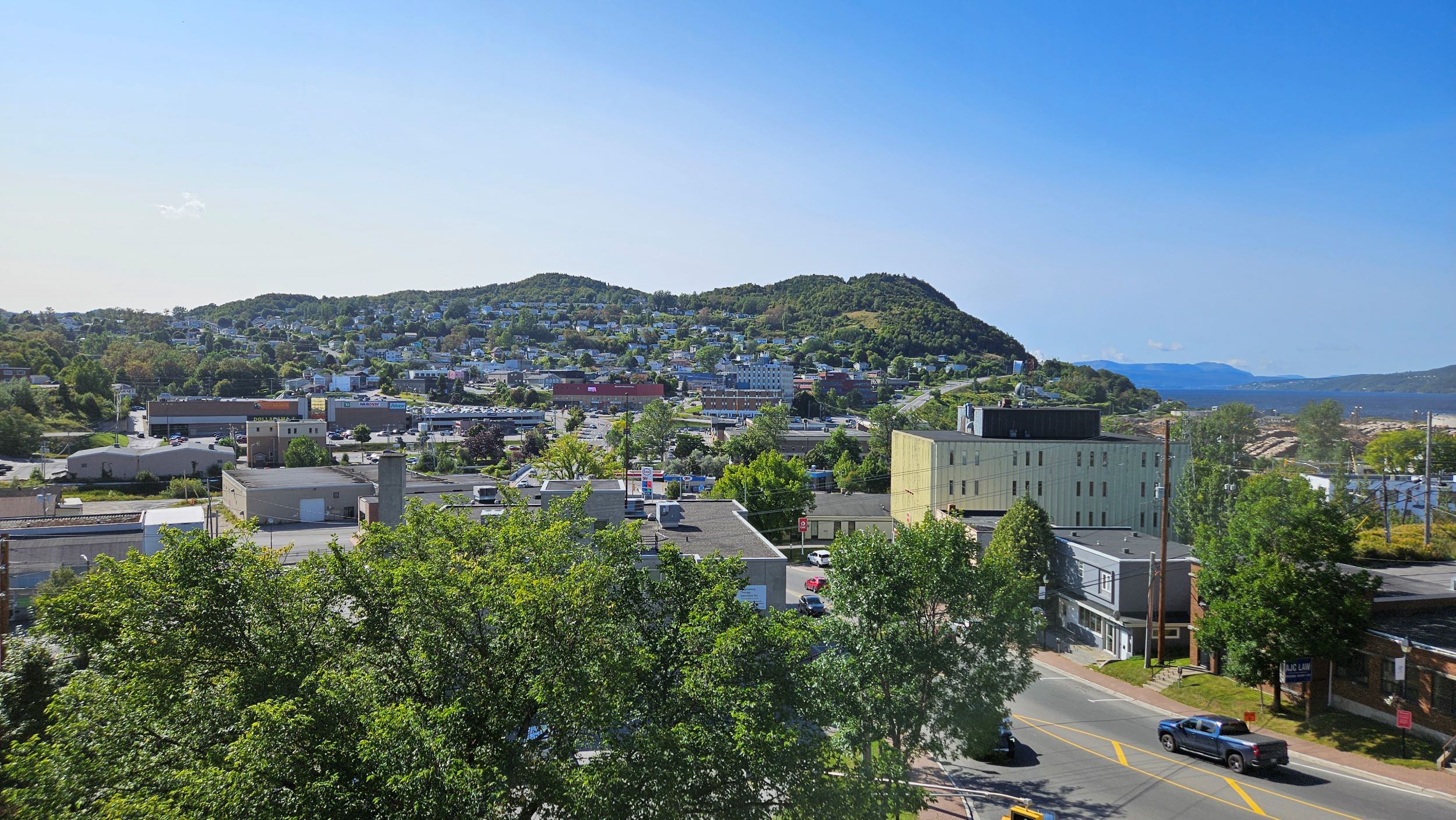
Between 1763 and 1767, Captain James Cook charted the coastline of Newfoundland. The first scientific, large scale, hydrographic survey to use precise triangulation to establish land outlines. His charts remained a standard for over a hundred years. As I read with interest. At the top of the Captain James Cook Historical Site. A large hill overlooking Corner Brook. Newfoundland.
Two options to reach the top of the hill.
One hour walk up. Five minutes look see. One hour walk down.
Or.
Five minutes taxi ride with an Indian (as in curry not indigenous). Five minutes look see. Five minutes taxi ride back down.
Tricky one.
Have better use of time today than walking up and down a hill through a housing estate. Taxi it is.
Not the first time Captain Cook was here though. Initially came to the area in 1759 to chart the St Lawrence River (the Gulf of St Lawrence into which it flows is apparently the world’s largest estuary). So the British could advance and take Quebec City. The British won that argument.
In February 1763, the French recognised British sovereignty over Newfoundland with the signing of the Paris Treaty.
And there followed Cook’s charting of Newfoundland using a plane table. A small, square, flat table mounted on a tripod, with a brass telescope attachment. The table had drawing paper attached to it and the telescope was fitted with a straight edge that allowed the user to mark the telescope’s bearing. The table allowed one to create a drawing in which the true position and distance of geographical landmarks and the land that joined them could be documented. Google it.
On his third voyage, Cook sailed through the Bering Strait into the Chukchi Sea in August 1778. From where I have just sailed from. But. Being blocked by sea ice returned to Hawaii. Where he eventually died on Valentine’s Day 1779. Bit of a rumpus when the locals got agitated as he tried to kidnap their king. Cook was stabbed to death.
The stuff you learn on this blog, dear reader.
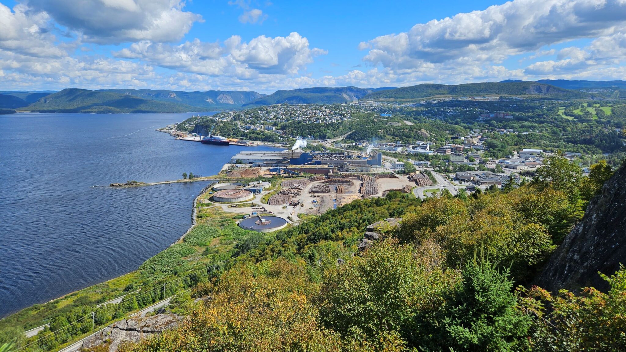
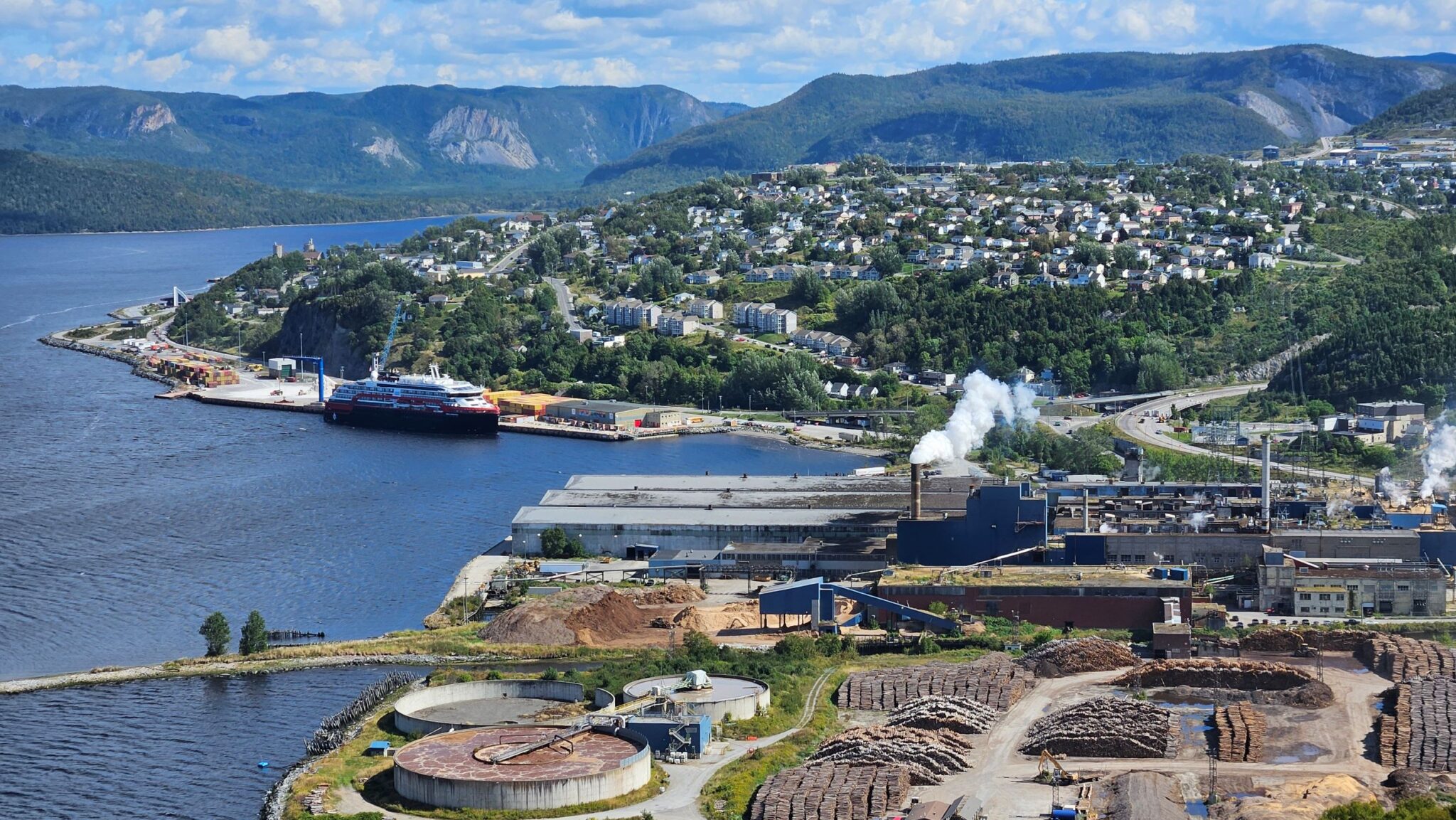
Views from the top of the hill are magnificent. See video below. Glorious hot day. Not since Vancouver have I been in shirt sleeves. Quite nice not to be walking around like the Michelin man in layers of polar gear to keep me warm.
Now trying to keep cool.
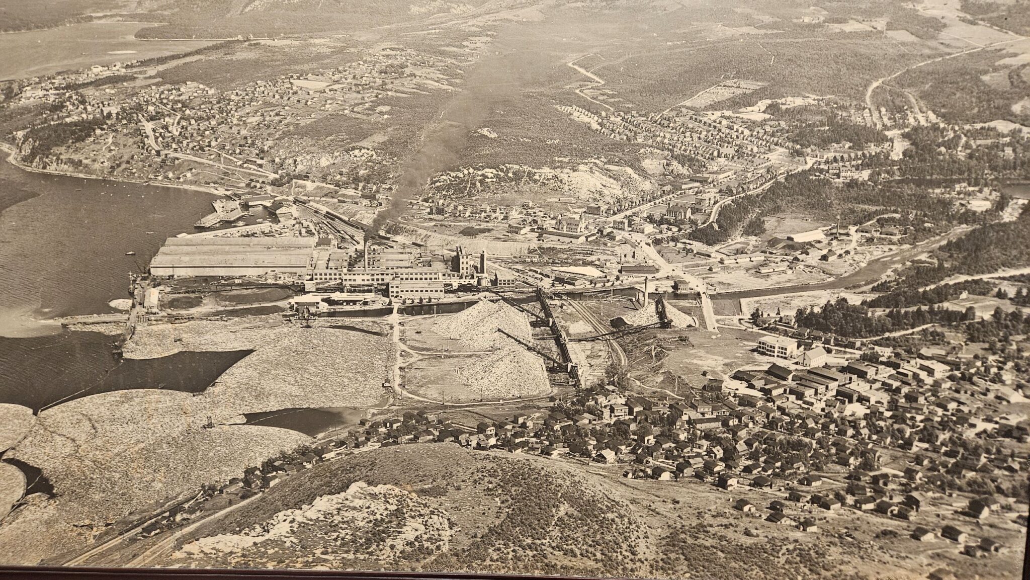
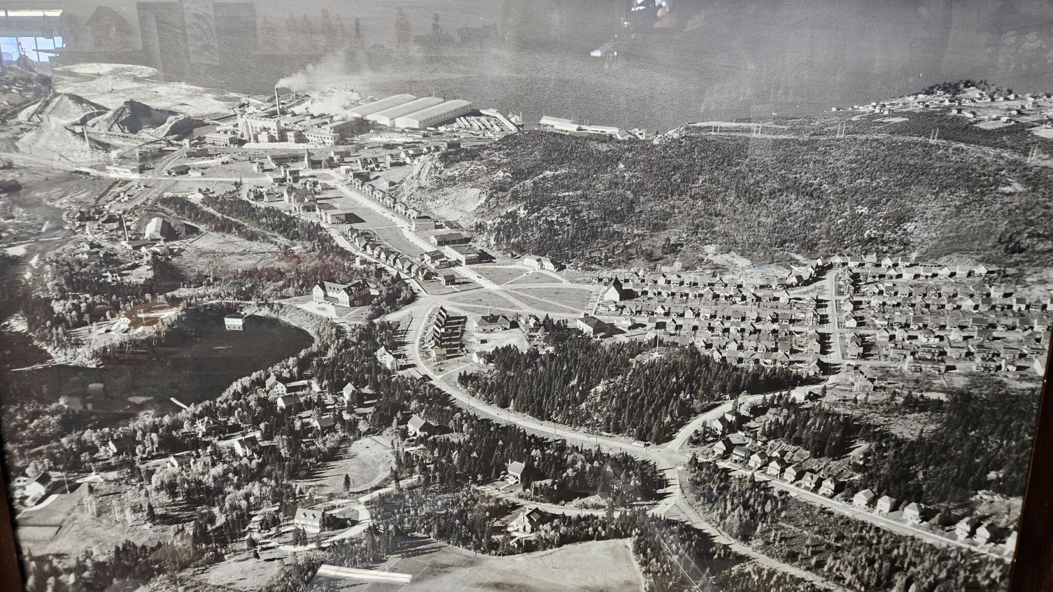
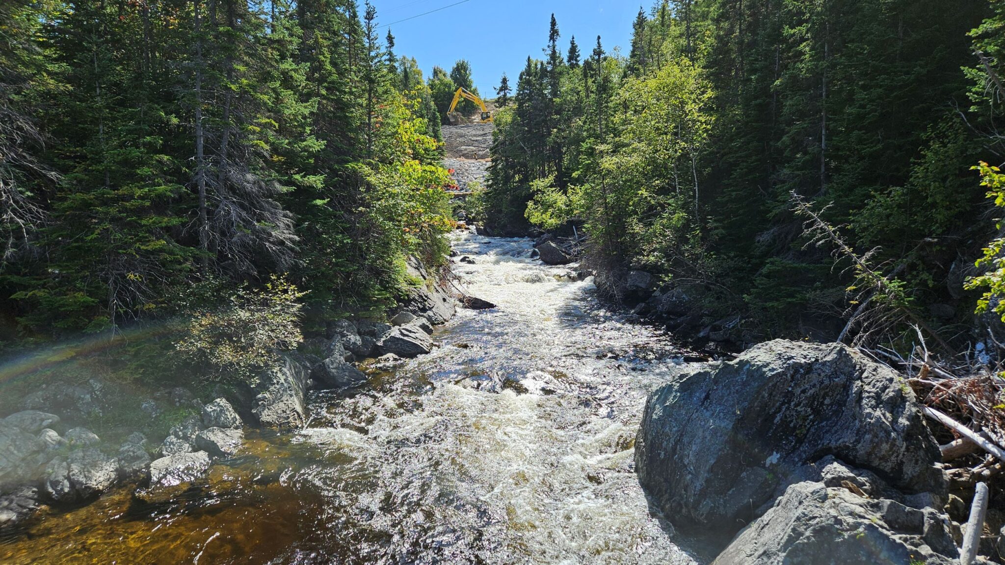
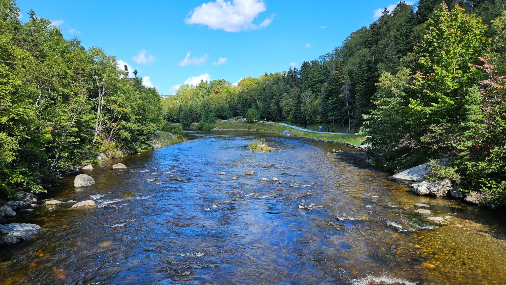
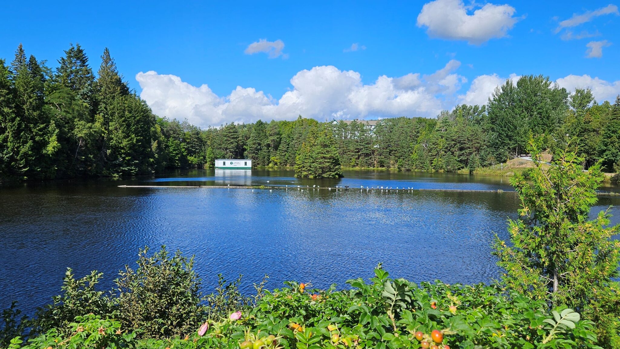
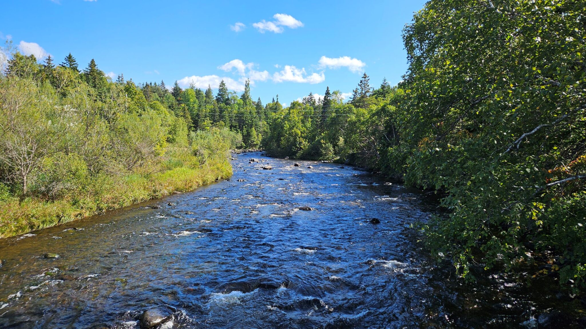
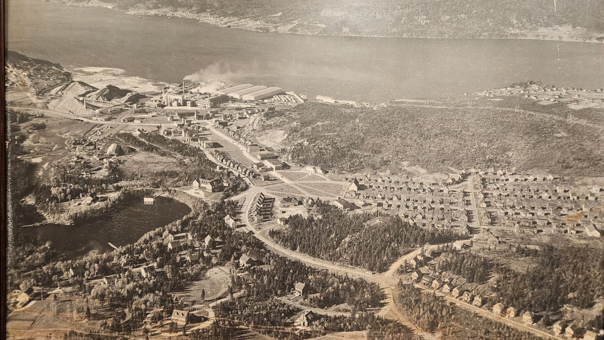
The largest blot on the landscape in Corner Brook is the paper mill. Constructed between 1923 and 1924 it sits on the shore at the bottom of a valley. Which has a river. Which feeds the paper mill. Town since been developed substantially since then but the valley has been maintained as a wonderful parkland with nature trails. Amazing to think that as you walk through woodland following the river, lake and dam that a small town is only a few hundred metres away either side.
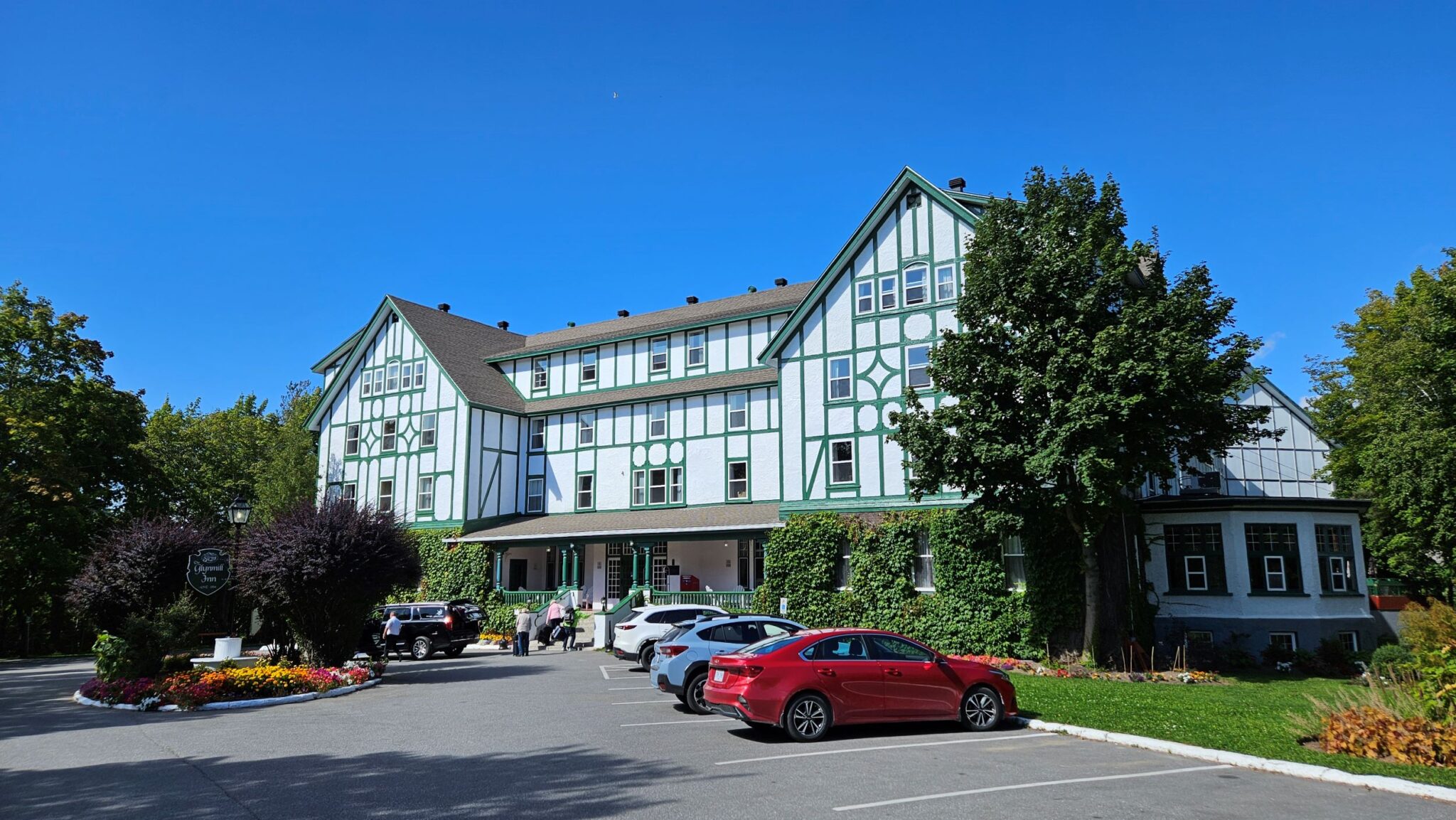
On the lake is a Tudor style hotel called Glynmill Inn. Built in 1924 as a hotel to accommodate senior staff building the paper mill.
Nice to get a walk in along the paths on a sunny summer’s day.
There’s not much else to see in town apart from a museum in the civic centre. Which whiles away the time.
Penultimate night onboard. Party night. Crew concert. Thought it was going to be the European expedition crew concert. But it’s the Filipino ship’s crew concert.
They start with a couple of rock songs with the drummer singing. Not good, dear reader. Nearly went to bed.
But then.
The young Filipino girl on reception starts singing.
She’s good.
Kicks off with The Cranberries.
Then.
4 Non Blondes’ ‘What’s up?’. A favourite of mine.
She’s good, dear reader. And I stay a while longer.
‘And so I wake in the morning and I step outside
And I take a deep breath and I get real high
And I scream from the top of my lungs
“What’s going on?”’
If you know. You know.
